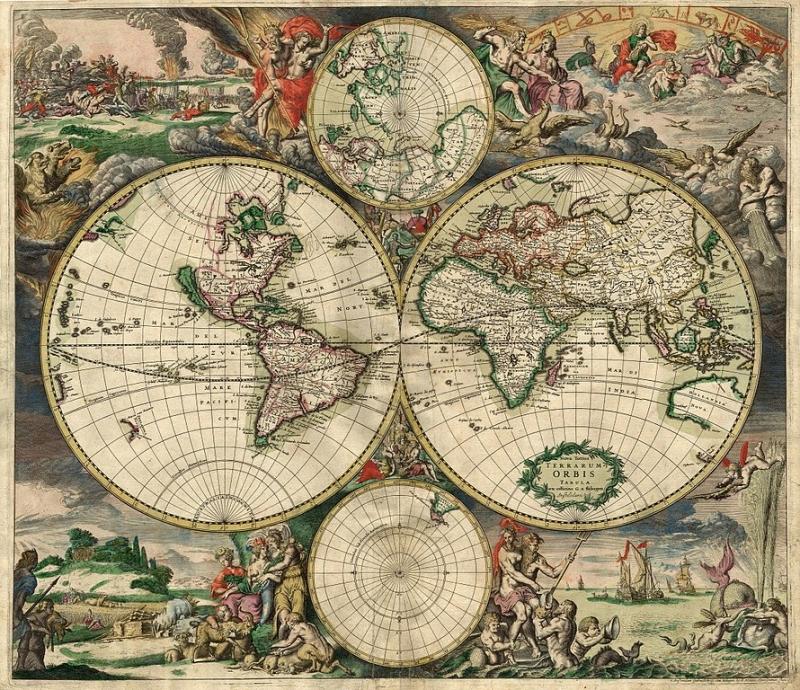
Maps are visual representations of the Earth's surface or a specific area, showing geographical features such as landforms, bodies of water, and human-made structures. They are used to navigate and understand the world around us, providing information on location, direction, and distance. Maps can be created using various techniques such as cartography, satellite imagery, and digital mapping software. They come in different types including physical maps that show natural features, political maps that display boundaries and territories, and thematic maps that focus on specific themes like population or climate. Maps are essential tools for travelers, researchers, urban planners, and many other professions. With the advancement of technology, maps can now be accessed online or through mobile devices with real-time updates and interactive features. They continue to play a crucial role in our daily lives by helping us explore new places, plan routes, and gain a better understanding of our world.

 Catalog number: 2")


